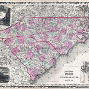
Johnson’s Map of North and South Carolina, 1862
- Identifier
- EAA10
- Title
- Johnson’s Map of North and South Carolina, 1862
- Description
- A display of A. J. Johnson’s 1862 map of North Carolina and South Carolina. Map shows both states in full with color coding according to county.
- Creator
- Alvin Jewett Johnson
- Date Created
- 1862
- Publisher
- A. J. Johnson and Ward
- Bibliographic Citation
- Johnson, A. J., Johnson's New Illustrated (Steel Plate) Family Atlas with Descriptions, Geographical, Statistical, and Historical. (1862 A. J. Johnson & Ward edition)

