-
Identifier
-
jesseferraioli
-
Title
-
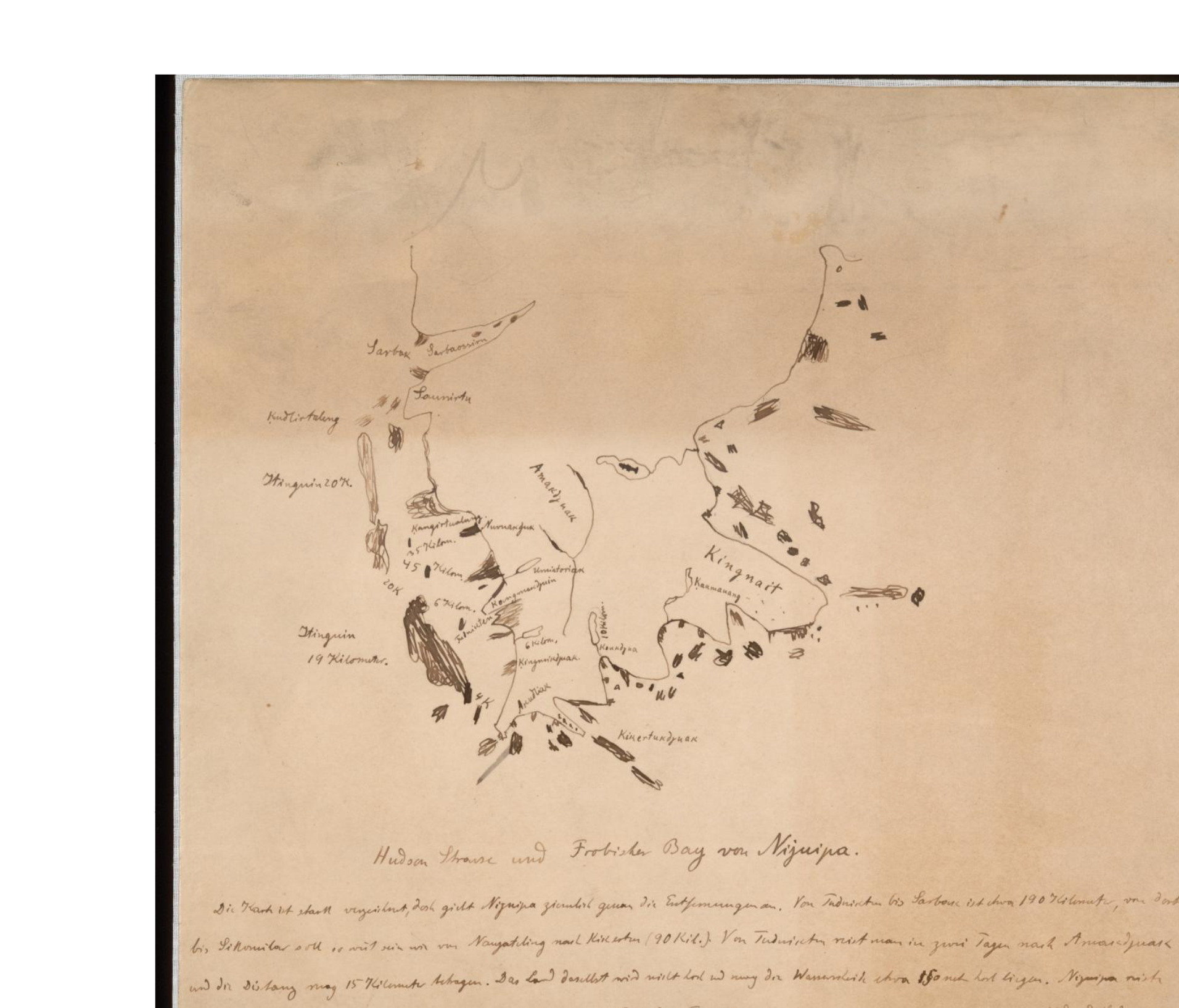
Map of Frobisher Bay drawn by Franz Boas and an unidentified Inuit Colleague
-
Description
-
This is one of a set of maps either drawn and annotated exclusively by an unidentified Inuit colleague or in combination with German-American anthropologist Franz Boas. In this image is Frobisher Bay and other elements of the Baffin Island coastline. This map is an example of European and indigenous knowledge being combined to map the coastline.
-
Creator
-
Inuit colleague (unidentified) & Franz Boas
-
Date Created
-
1885
-
Publisher
-
Smithsonian Online Virtual Archives

