-
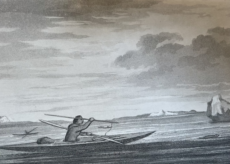
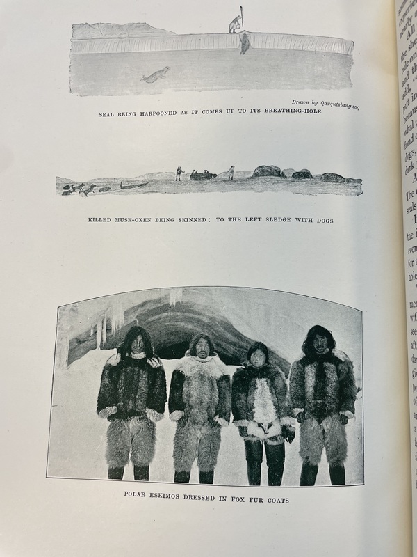
This photo depicts the indigenous practice of seal hunting or sealing in Baffin Bay
-
This map uses indigenous place names and handwriting that is notably different than Boas’ (and not in German), indicating that this map of the Hudson Strait (at the very southern end of Baffin Bay and on the Southern shore of Baffin Island) and notes are likely drawn and written by the unidentified Inuit colleague rather than Franz Boas.
-

Stop for tea, cooking with a Primus stove in the shelter of an ice ridge
-
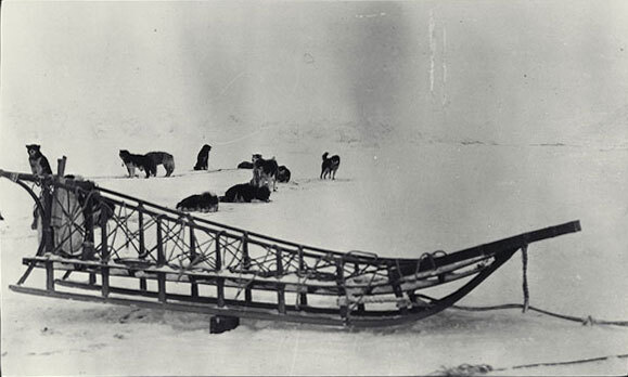
Nome-type sled, dogs in background
-
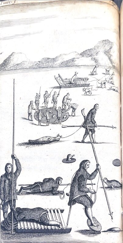
Drawing of many hunters hunting seals by cutting circles in the ice and using harpoons
-
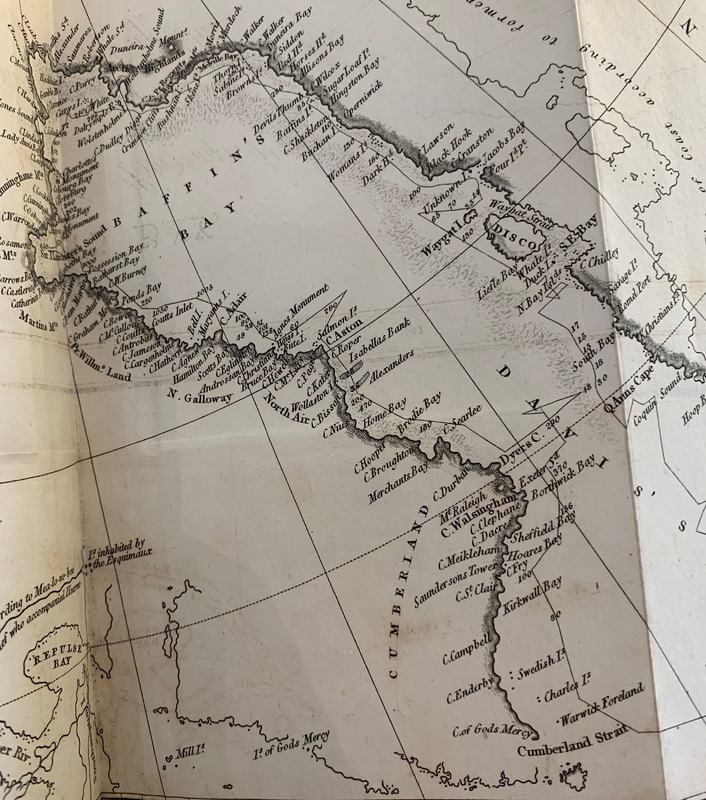
A map created by Captain John Ross during his 1818 expedition
-
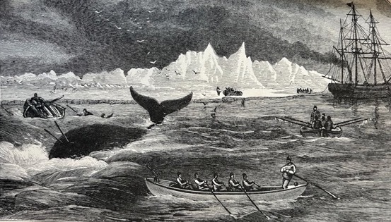
A picture of a whaling expedition with small ships deployed from the main ship in order to trap the animal with harpoons.
-
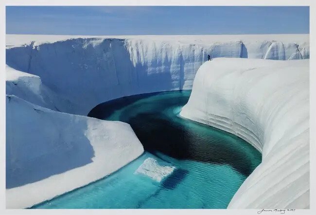
An image of the Greenland ice sheet melting, which appears like a canyon.
-
-
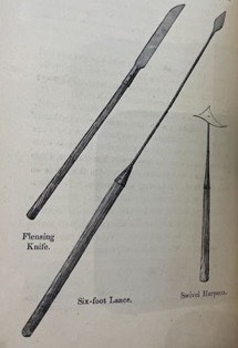
A picture of tools used on whaling expeditions: “Flensing Knife” & “Six-foot Lance” & “Swivel Harpoon."
-
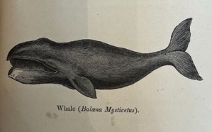
A picture of a whale (Balaena Mysticetus).
-
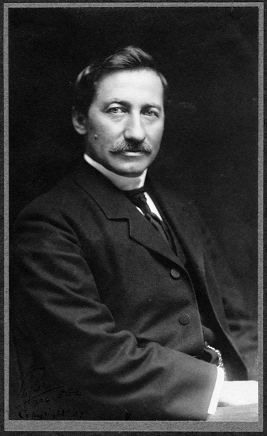
Portrait of Frederick A. Cook
-
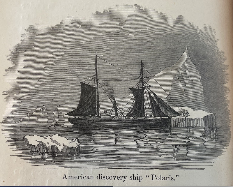
Drawing of American ship "Polaris"
-
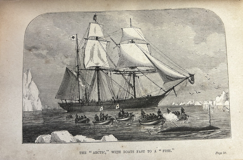
Drawing of the "Arctic" ship traveling in Baffin Bay
-
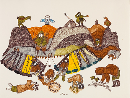
Coloured felt-tip pen on paper drawing of children and animals around a campsite.
-
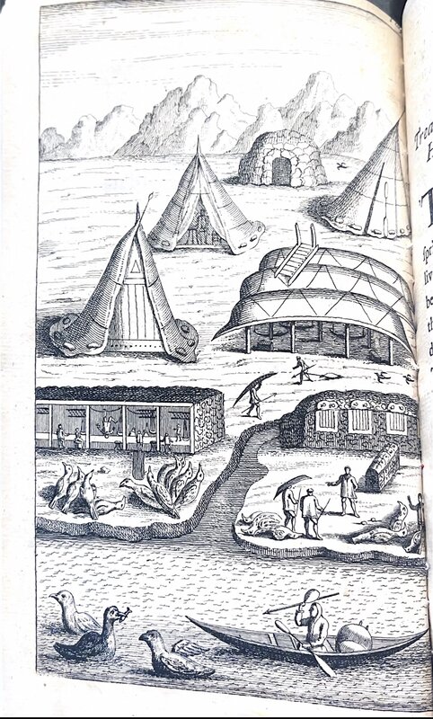
Shows a drawing of a village with houses and various people working.
-
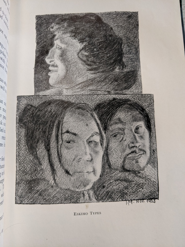
A depiction of Inuit people of Greenland by Count Harald Moltke describing them as "types"
-
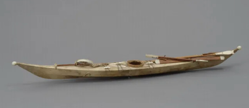
This image shows a model of the Greenlandic kayak, which is longer and thinner than other kayaks from across the Arctic. Such a design allows for increased speed and agility while moving through ice-filled waters. Included in this model are miniature versions of a hunter's harpoon and Greenlandic-style paddles.
-
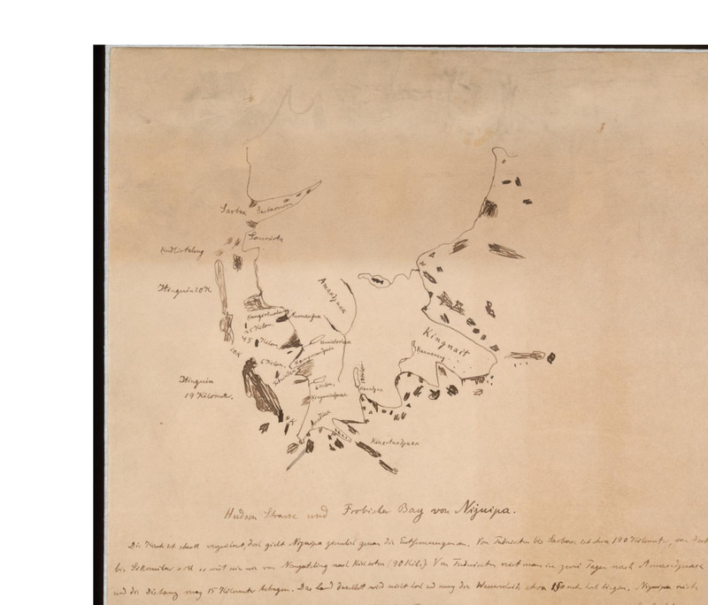
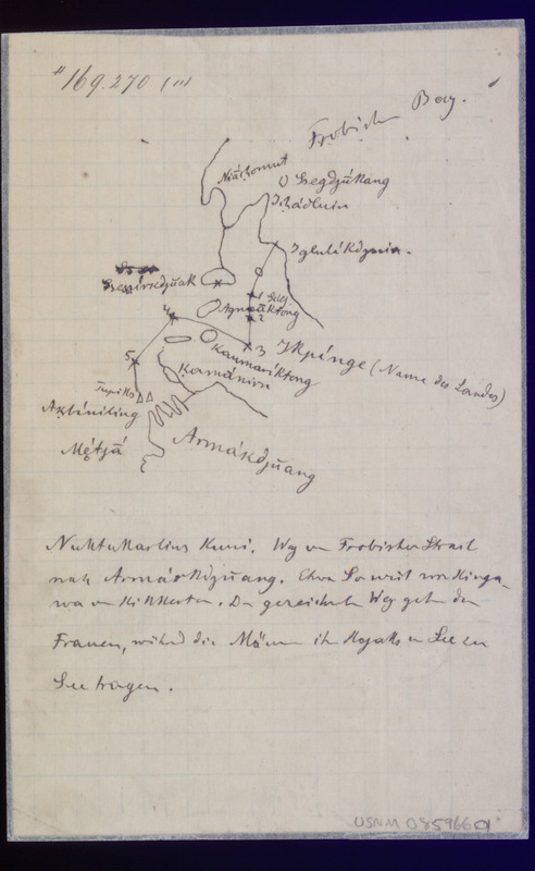
This is one of a set of maps either drawn and annotated exclusively by an unidentified Inuit colleague or in combination with German-American anthropologist Franz Boas. In this image is Frobisher Bay and other elements of the Baffin Island coastline. This map is an example of European and indigenous knowledge being combined to map the coastline.
-
Set of pencil sketches by Panypar of an expedition of Inuit and American hunters hunting musk ox.
-
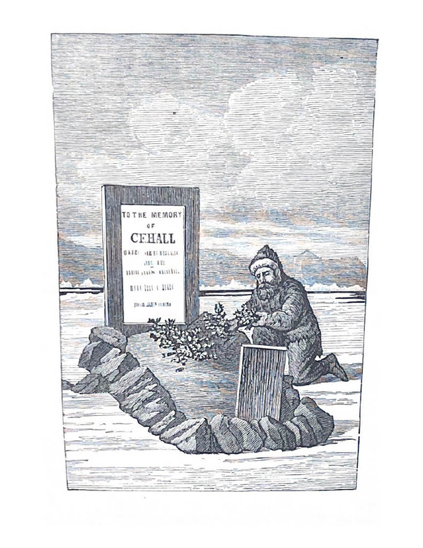
A man lays what appears to be flowers on the grave of Captain C.F. Hall
-
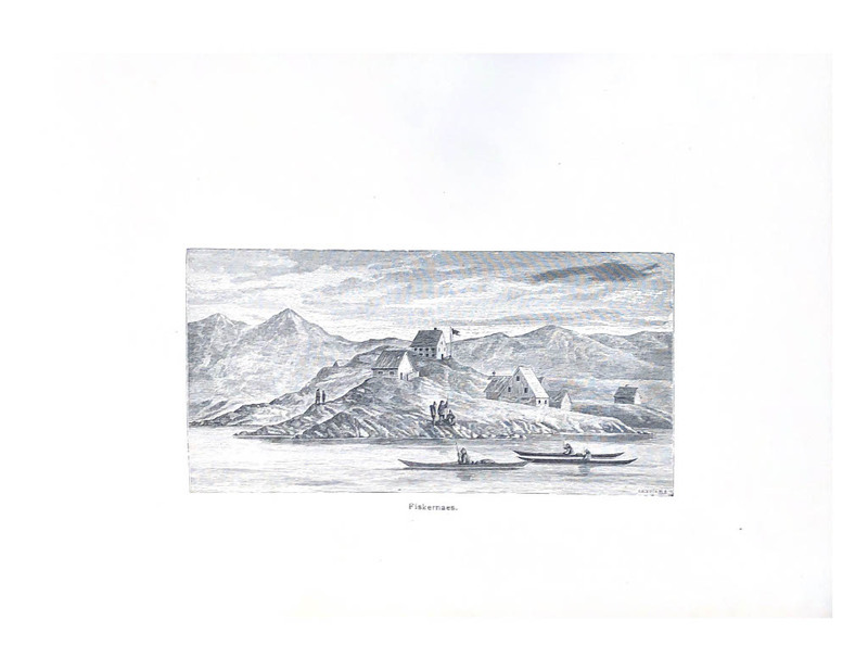
An image of the indigenous settlement Fiskernaes.
-
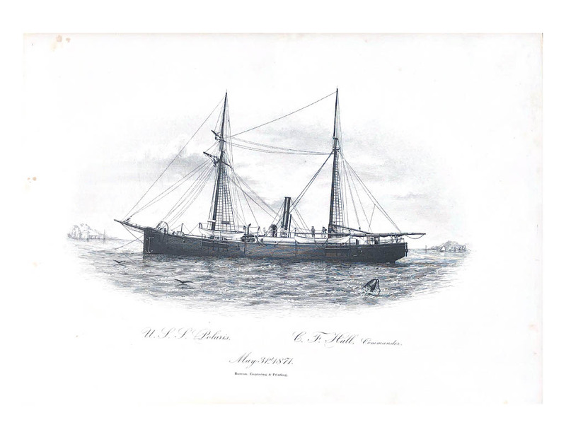
Image of the USS Polaris, commanded by Captain C.F. Hall
-
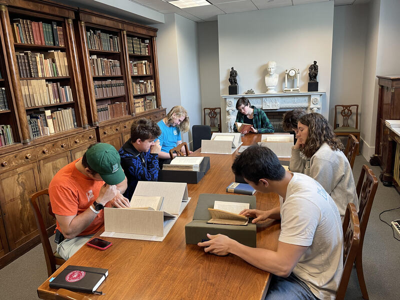
Students browsed items related to their group theme, often meeting at Rauner Library. Students then photographed items they wished to use for their project.
-
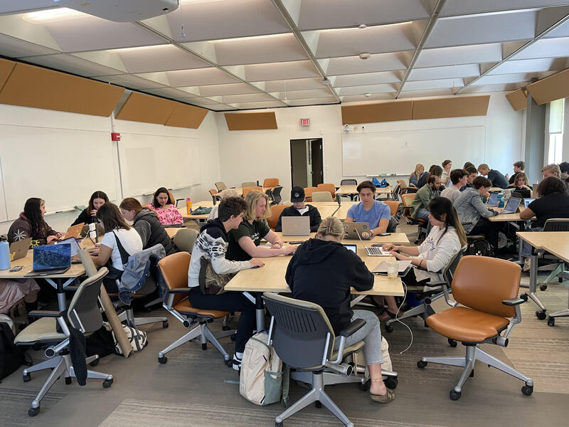
This picture depicts students working in groups in the classroom during a brainstorming session.
