Maps of England's Caribbean Colonies (1677)
Item
-
Identifier
-
Erfle6
-
Title
-
Maps of England's Caribbean Colonies (1677)
-
Description
-
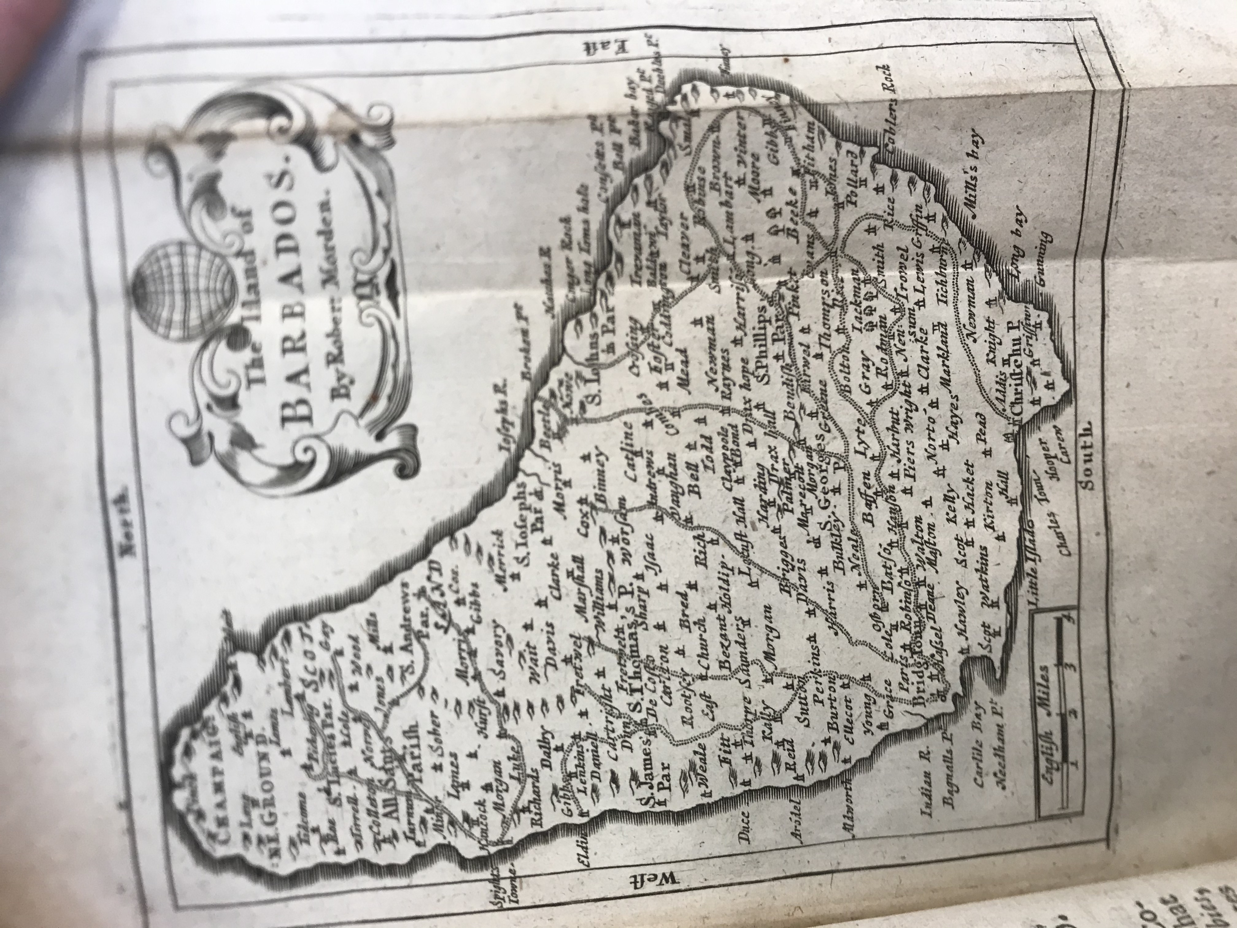
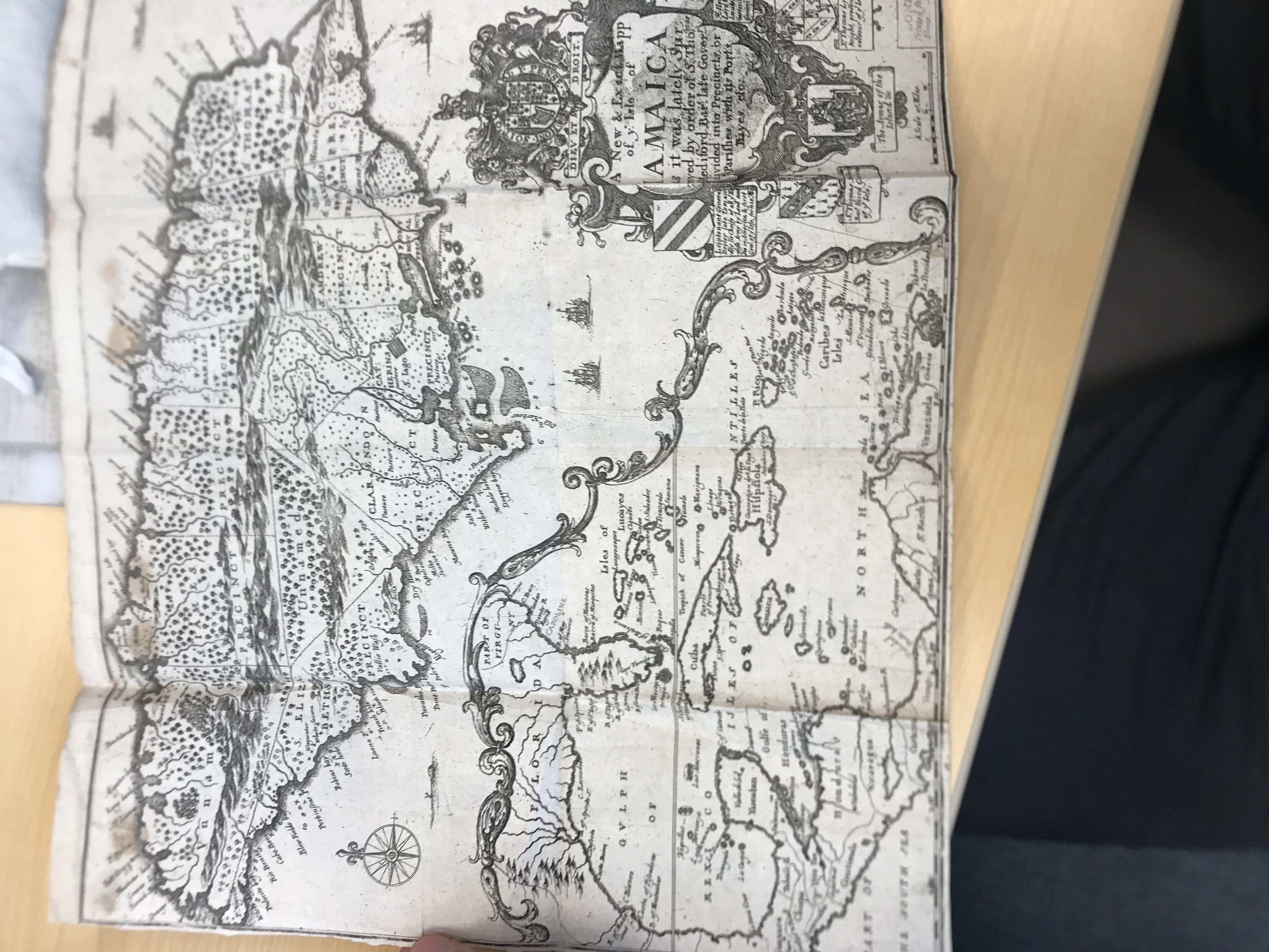
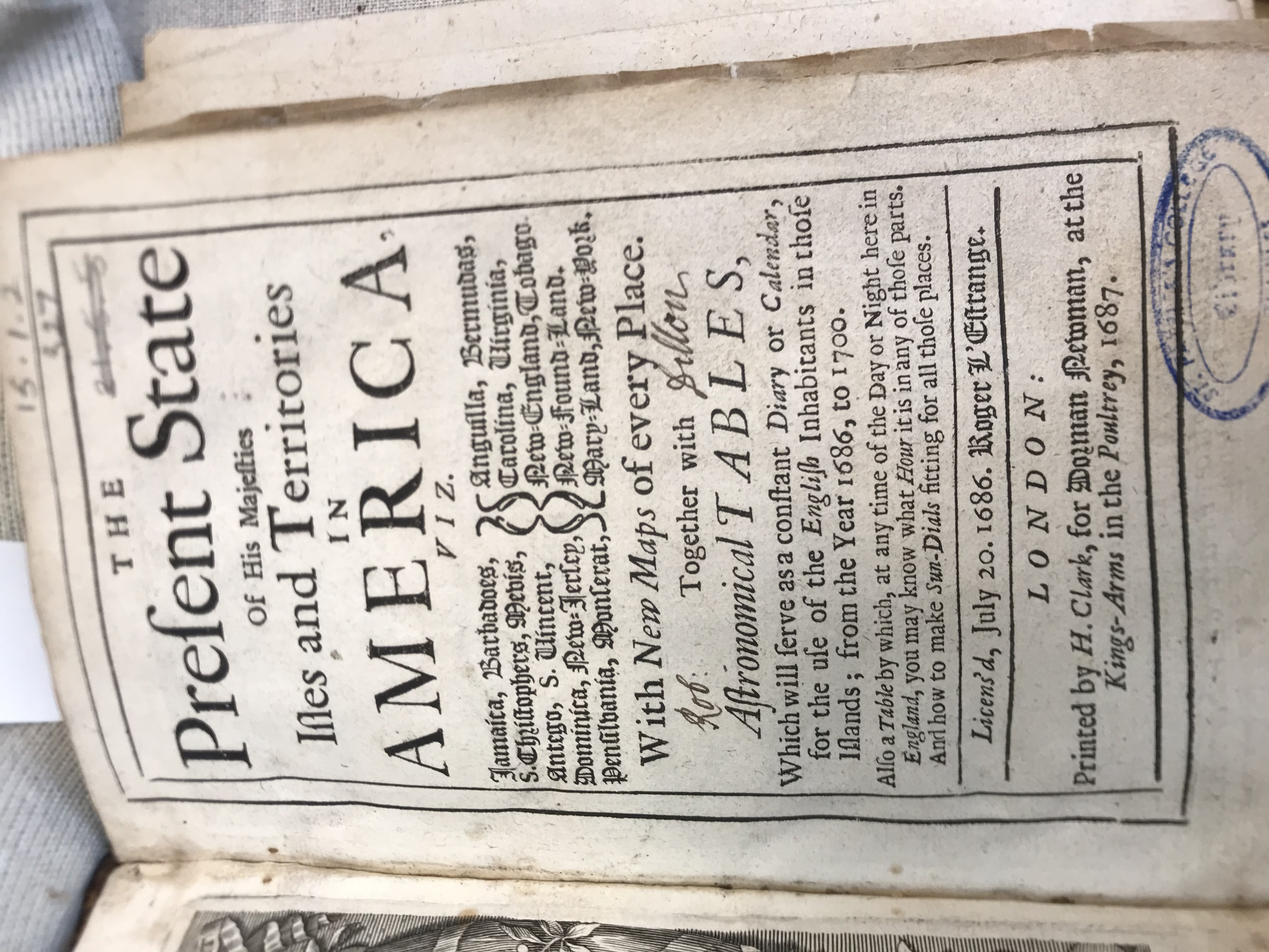
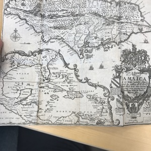
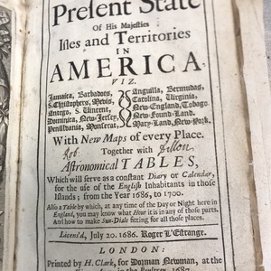
The first map is a very simple map of the English colony of Barbados with all of the cities labeled. The second map is a larger map of the Caribbean at the time, with a map of Jamaica blown up at the top. The last image is the title page of the book, "The Present State of New-England." William Hubbard's book serves as an informative source on England's early colonies in the Caribbean and America. Hubbard's book is one of the earliest sources that provides a history of England's colonies from 1607 to the year it was published, 1677.
-
Creator
-
William Hubbard
-
Date Created
-
1677
-
Publisher
-
London: Tho. Parkhurst
-
Bibliographic Citation
-
William Hubbard. The Present State of New-England. London: Tho. Parkhurst, 1677.