Map from The Present State of New-England Being a Narrative of the Troubles with the Indians in New-England...
Item
-
Identifier
-
Dugar 3
-
Title
-
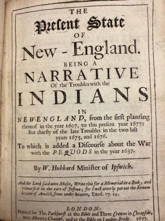
Map from The Present State of New-England Being a Narrative of the Troubles with the Indians in New-England...
-
Description
-
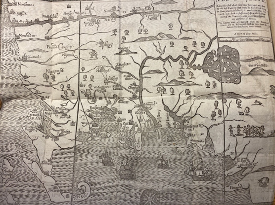
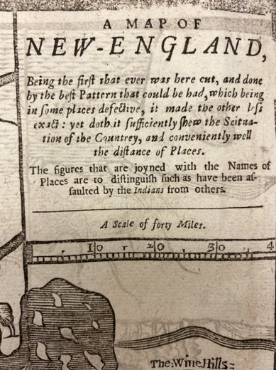
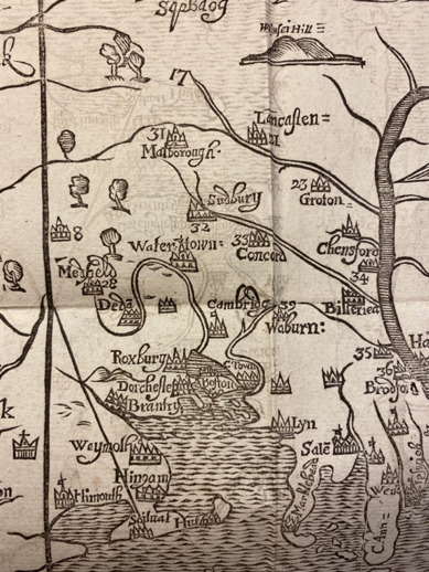
This map details specifically which English settlements have been attacked by Native Americans and how many colonists have been injured or killed as a result (as indicated by the number next to those town's names). This is also a significant map because it was the first one drawn and designed in Boston, meaning it gives a pastoral view of the land instead of an imperial one.
The significance of this map comes can be known from the inscription in its top right corner: “A Map of New England, being the first that was ever cut here…” In other words, this was the first map produced in the English colonies. The fact that this first map is created for the explicit purpose of publicizing the agonies and violence wrought upon English settlers by the Native Americans in the surrounding areas speaks to the contentious relationship between the two groups. The pastoral view of the land that this map provides, in contrast to the imperial view of colonies set forth in maps for the British empire, informs us of two of the most pressing issues for early colonists: protection against violence perpetrated by Native Americans and the establishment of churches and religious organization. The presence of churches is indicated by the steeple cross on the buildings depicted next to some town names. (Dugar)
-
Creator
-
W. Hubbard
-
Date Created
-
1677
-
Publisher
-
Printer for Tho. Parkhurst


